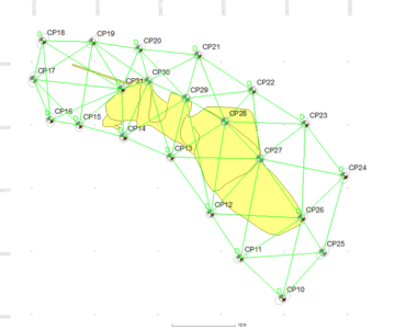
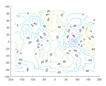
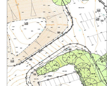
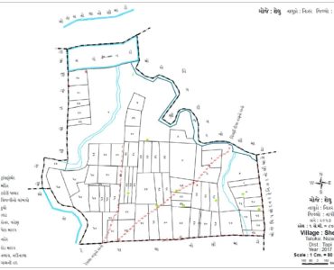
At Om Survey Consultancy Vadodara, we take the opportunity to introduce ourselves as a well-established firm in the field of land surveying, civil engineering related services based in Vadodara. In this period we carry with ourselves a wide experience in the field of Topographical mapping and also specialize in providing customized GIS & other CAD-related solutions for survey and civil engineering fields well. We provide services like Land Survey, Digital Land Survey, Topographic Land Survey, Total Station Land Survey, Railways Survey Services, Power line Survey Services, Contour Survey Services in Vadodara, India.
We possess the latest infrastructure an instruments like GPS / Total Station with technological excellence for surveying an data collection. Our team comprises experienced an highly qualified Ex-Surveyor’s Civil Engg’s from SOI, PWD, IRRIG etc, and CAD experts & skillful Draughtsman.
Our Best Services

All type of Land Survey
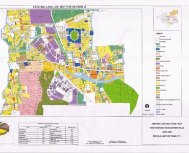
Om Survey Consultancy are conducted to establish the exact location, boundaries, or subdivision of a tract of land in any specified area. This type of survey requires professional registration in all. We are an expert Surveyor Agency that provides accurate survey reports.
GIS/CAD Data Development & Maintenance
The core of any GIS technology solution is the geo-database. Our expert data services team has extensive experience in converting existing data to spatial data that meets the defined GIS business goals and QA tools. Contact our Vadodara office for GIS/CADD requirements.
Project Planning Services
Our Organization is a prominent organization engaged in providing services in the field of Project Survey here in Vadodara. This helps an Operator / Client in having optimum manpower and relaying on the Project Management in executing the project successfully in time.
Gas, Oil & Water Pipeline Survey
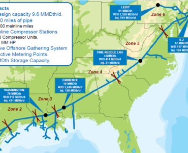
Our Consultancy is reputed service providers conduct a pipeline survey on behalf of our various valuable clientele. We make use of latest tools & technology for moving out the survey in the most effective.
Our Best Work


